
SAN ANGELO, TX — Breezy, warm conditions Friday elevate fire risks in parts of West Texas, while isolated to scattered severe thunderstorms could develop late Friday into Saturday, with large hail, damaging winds and dangerous lightning possible, according to the National Weather Service.
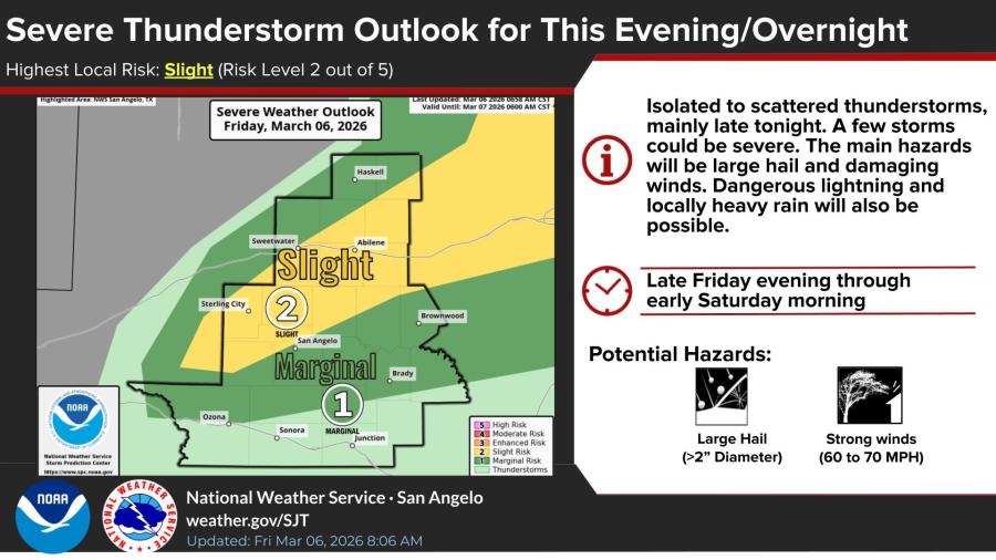
The highest local risk for severe weather is rated slight, or level 2 out of 5, for Friday evening through overnight, mainly late tonight. Storms may produce hail larger than 2 inches in diameter, winds of 60 to 70 mph and locally heavy rain. The affected area includes regions around San Angelo, with marginal risk extending to nearby towns like Ozona and Sonora.
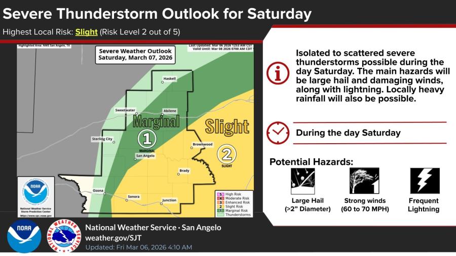
On Saturday, similar conditions are expected during the day, with isolated to scattered severe storms possible. Main hazards include large hail, damaging winds, frequent lightning and locally heavy rainfall.
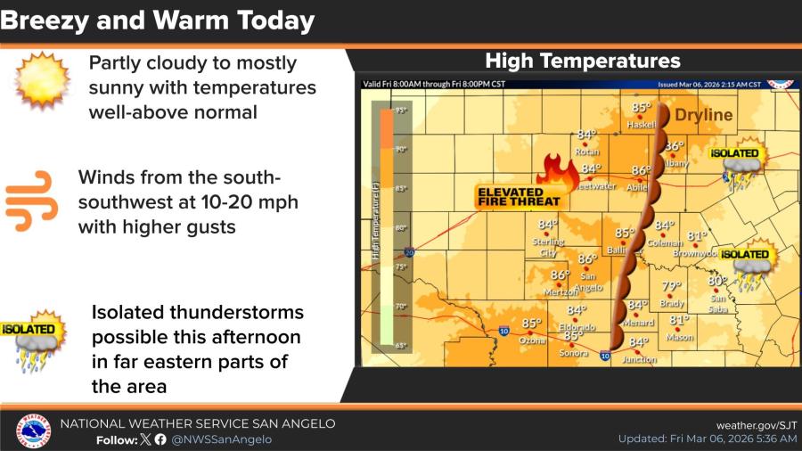
Friday's weather will be breezy and warm, with partly cloudy to mostly sunny skies and temperatures well above normal, reaching highs in the 80s. Winds from the south-southwest at 10-20 mph, with higher gusts, are forecast. Isolated thunderstorms are possible this afternoon in far eastern parts of the area, ahead of a dryline. Western portions, including the Big Country and Concho Valley, face elevated fire weather conditions due to warm, dry air combined with gusty winds.
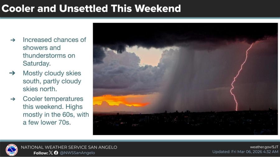
The weekend overall will be cooler and unsettled, with increased chances of showers and thunderstorms on Saturday. Highs mostly in the 60s, with a few lower 70s. Skies will be mostly cloudy over the southern half of the area and partly cloudy over the northern half.


")
Subscribe to the LIVE! Daily

Required
Post a comment to this article here: